

Land Surveying
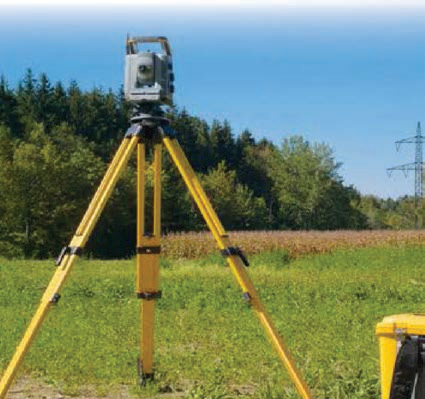
LAND SURVEYING KATGO Construction Company has a team of well equipped and skilled surveyors that make exact measurements and determine property boundaries. Provide data relevant to the shape, contour, gravitation, location, elevation, or dimension of land or land features on or near the earth’s surface for engineering, mapmaking, land evaluation, construction, and other purposes
As land Surveyors, KATGO Construction Company offers the following services
- Verify the accuracy of survey data, including measurements and calculations conducted at survey sites
- Direct or conduct surveys in order to establish legal boundaries for properties, based on legal deeds and titles.
- Record the results of surveys, including the shape, contour, location, elevation, and dimensions of land or land features
- Calculate heights, depths, relative positions, property lines, and other characteristics of terrain
- Write descriptions of property boundary surveys for use in deeds, leases, or other legal documents
- Plan and conduct ground surveys designed to establish baselines, elevations, and other geodetic measurements
- Search legal records, survey records, and land titles in order to obtain information about property boundaries in areas to be surveyed
- Coordinate findings with the work of engineering and architectural personnel, clients, and others concerned with projects
- Adjust surveying instruments in order to maintain their accuracy
- Train assistants and helpers, and direct their work in such activities as performing surveys or drafting maps.
- Compute geodetic measurements and interpret survey data in order to determine positions, shapes, and elevations of geomorphic and topographic features